Model observation
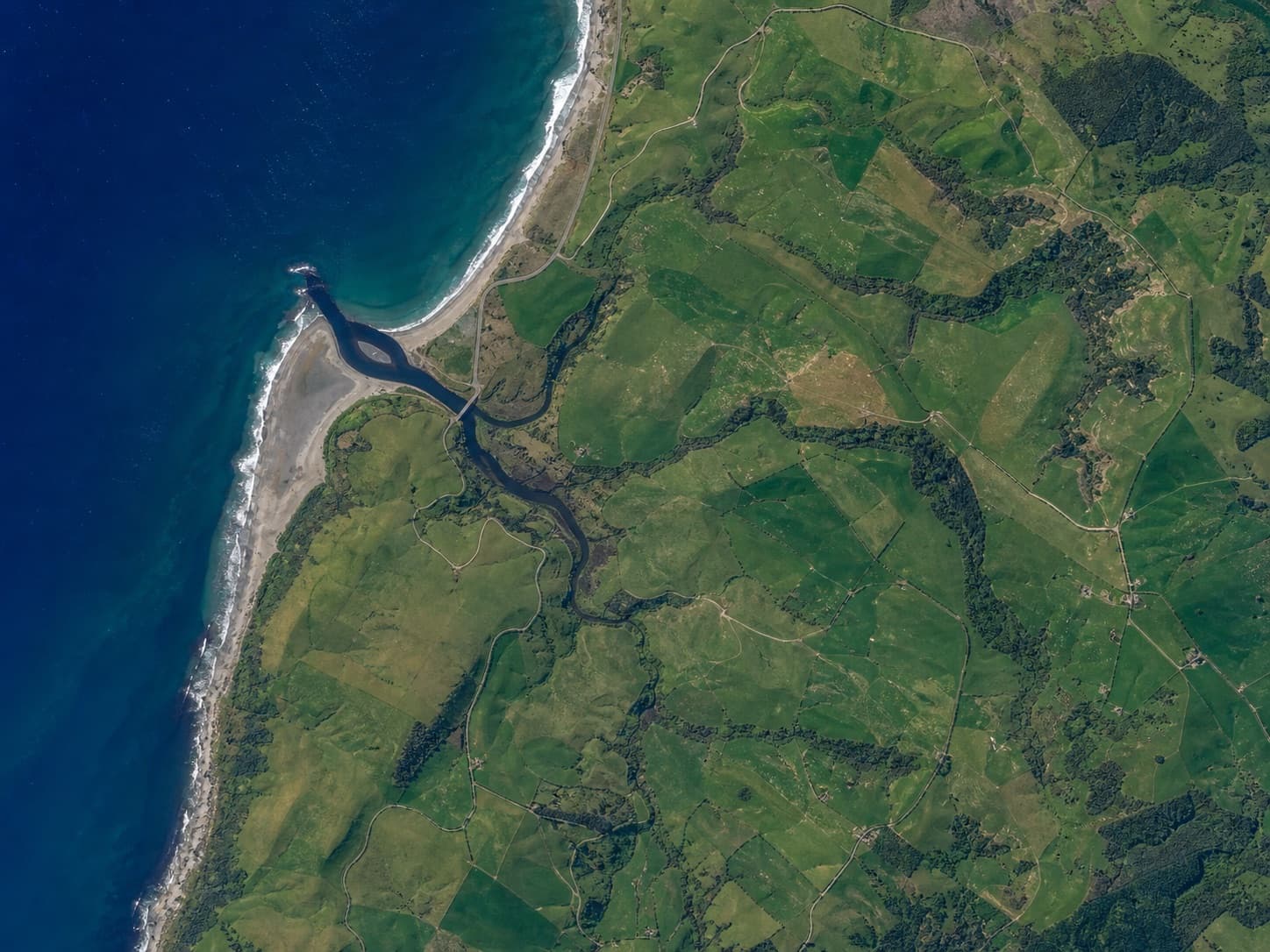
Name only what is visible before turning a pattern into a geographic claim.
Free classroom resource
A six-page, print-ready investigation that turns satellite scenes into evidence-based geographic reasoning. No student accounts, ads, or classroom software setup.
The reasoning routine
Distance scores are motivating, but explanations are assessable. The activity gives students a repeatable routine they can use with maps, aerial imagery, and remote-sensing examples.
Name only what is visible before turning a pattern into a geographic claim.
Recorder, mapper, skeptic, and speaker roles keep every student involved.
Groups explain three observations, two hypotheses, and one contradiction.
Includes a teacher quick start, three full-page satellite scenes, observation worksheets, evidence rubric, teacher notes, and an exit ticket.